Posted on: 9 May, 2013
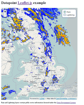
In response to a query posted on the
Met Office DataPoint Group we developed a short
example to show how the DataPoint overlays for Lightning and Rainfall Radar could be overlaid over an OpenStreetMap layer using the
Leaflet javascript library.

